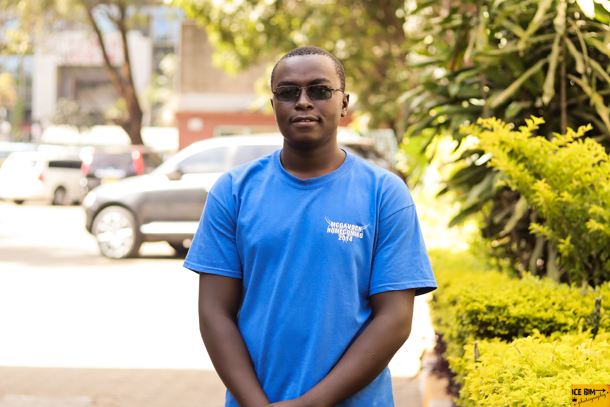
Hi, I am currently a student at The Technical University of Kenya. Am pursuing Bachelor Of Applied Science GeoICT. I am a computer Programmer with 4 years of coding experience specialized in Web Development, still learning Mobile and Desktop App Development. I pursued Geographic Information Systems(GIS), Remote Sensing, GeoSpatial Data Analysis(R and Python), GeoSpatial Data Acquisition and Web_Based Mapping. I am also a YouTuber @codeessentialske and a social media Influencer.
View My Work Spatial WorkCreating, building and maintaining websites. I build websites using HTML, CSS5 and JavaScript. FrontEnd Web Development can be done by React.js which is the most popular JavaScript Framework.
For mobile App Development, I chose Dart and Flutter because of inbuilt Widgets. Dart is an open-source, general-purpose, object-oriented programming language with C-style syntax developed by Google in 2011. Flutter
The word GeoSpatial is used to indicate that data which has a geographic component to it. This means that the records in a dataset have locational information tied to them such as geographic data in the form of coordinates, address, city, or ZIP code.
For Advertisement, I do this for marketing products on social Media platforms. I have a large audience on Twitter. My Team also has audience in several media platforms and this makes our marketing easier.
My skills range from Web Development, Mobile App Development to Geospatial Data Analysis. For Web Development, HTML5, CSS3 and JavaScript are mostly used. React JavaScript is also used in developing FrontEnd Websites. MongoDB, Express and Nodejs for a FullStack website. App development I normally use Dart and Flutter. Flutter is an open source framework created by Google for building beautiful, natively compiled multiplatform applications from a single codebase. For GeoSpatial Data Analysis, I use Python Scripting and R programming language. For Databases, PostgreSQL and MySQL are best for both GeoDatabases and Commercial purposes.
Follow on GitHub View CV
1. To analyze long-term trends and changes in algae bloom parameters
by quantifying chlorophyll-a concentration levels in water.
2. To derive Normalized Difference Water Index (NDWI),
Normalized Difference Chlorophyll-a Index (NDCI) and Normalized Difference
Turbidity Index (NDTI) to show the presence of water, detect chlorophyll
content in water and clarity of water respectively.
3. To determine the Rainfall pattern in the surrounding Areas for the
same period.
1. To understand the human activities of the area for over a period of time.
2. Preserving biodiversity, minimizing soil erosion, preventing habitat loss,
and managing ecosystems to maintain environmental health.
Get in Touch with me directly on Twitter or other listed social media platforms. Also send me an official email in the account provided.